10/12/1999 to 10/14/1999
The southern portion of Utah has some of the greatest formations in the country so off we went.
Using Moab as our base we tooled around several of these amazing parks and took some not so amazing pictures.
I choose to look it as an opportunity to go again to try to get better pictures with our digital cameras. Yes, it's a burden being a tourist.
- Arches National Park
- Dead Horse State Park & Great Sand Hill
- Canyonlands National Park
- Valley of the Gods National Monument & Mexican Hat Lodge
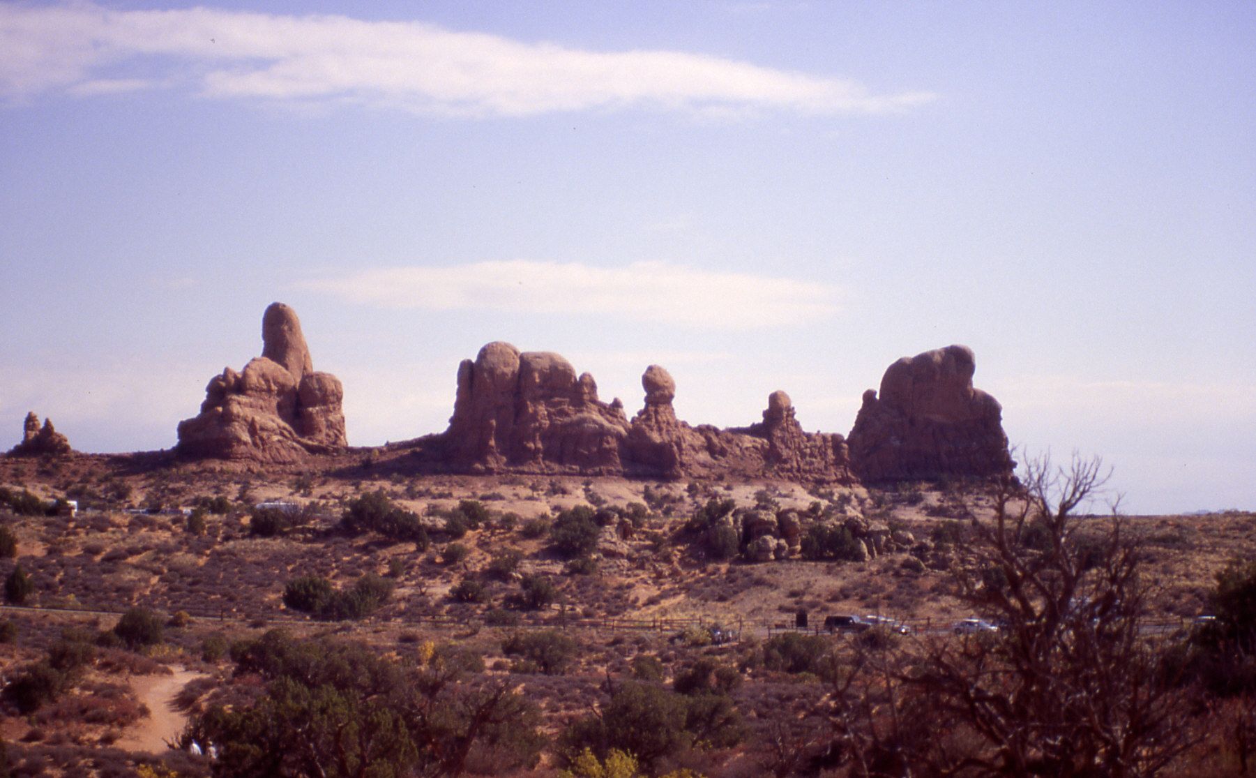
It's amazing what sandstone can make. The Arches in Arches National Park are spectacular formations mainly of salmon colored Entrada Sandstone and buff colored Navajo Sandstone.
What defines an arch from a bridge you might ask? Well maybe you wouldn't but usually bridges are attributed to water flow and arches to wind.
However these were made they are so worth seeing.


Just one of the numerous small side canyons


Skyline Arch

Getting closer to Skyline Arch

The view after you climb up


Balancing Rock


Delicate Arch

Probably the most photographed arch in the park

We loved the swirling area below Delicate Arch

First impression of Double Arch

You can see why it is called Double Arch
Today it was Canyonlands and a couple interesting local places.
Dead Horse Point State Park is a great canyon of goodneck plateaus snaking along the Colorado River. For many years horses were herded out onto one of the plateaus and then locked in with a single gate. Then the best would be culled and the rest released.
The "Dead Horse" name is the result of a group of horses that died after being herded onto the plateau were either not released or unable to find their way out. Either way they died, thus the name.
On our way back into Moab we saw all these cars parked along the road next to this huge hill of sand. Apparently locals come here in the late afternoon and enjoy sliding, jumping and falling down the hill. Parents sit in lawn chairs talking as they watch their children enjoy defying gravity.


The Colorado River below

Lots of great plateaus

This is what we saw as we came back into Moabq

You have to look closely, but that boy in the middle is using cardboard as a sled

The climb up is pretty rough but they just keep doing it

All ages. Here is a Dad with his little kid

These guys - typical boys - are leaping. Never occurs to them that legs break
After Dead Horse Point we drove into Canyonlands National Park. The great thing about this area is so much is so close.
We did a bit of driving a a bit of hiking. There is so much to see you need to devote several days

Canyonlands

Looking down from one of the mesas


The views are amazing

More mesas and winding valleys

Up by Mesa Arch

Looking through Mesa Arch

Just enjoying the view

We dook Shafer Trail Road back to Moab. Its great
Heading back toward Arizona we drove through Valley of the Gods. This area is similar to Monument Valley but with some different formations and if you like going backpacking you do not need a native guide because this is not on Navajo reservation.
We drove through and did some stops but not nearly enough hiking to fully appreciate the great side canyons.
As dusk settled in we stopped at Mexican Hat Lodge for the night. They are famous for their swinging steak grill. For some reason that night we were the only American guests. All our dinner companions were French and German. What a great time we had.

The formations are towering. Bigger than Monument Valley


The road is unpaved, mostly gravel, and at times a bit rough

More incredible formations


Mexican Hat

Our lodge for the evening


The swinging steak grill. Maybe a bit silly but still fun